Work Package 3: Hydrology of the mountainous Karnali catchment under climate and land use changes
This work package seeks to quantify how climate change and socio-economic developments control present-day and future water availability in the Karnali basin, especially in the Terai.
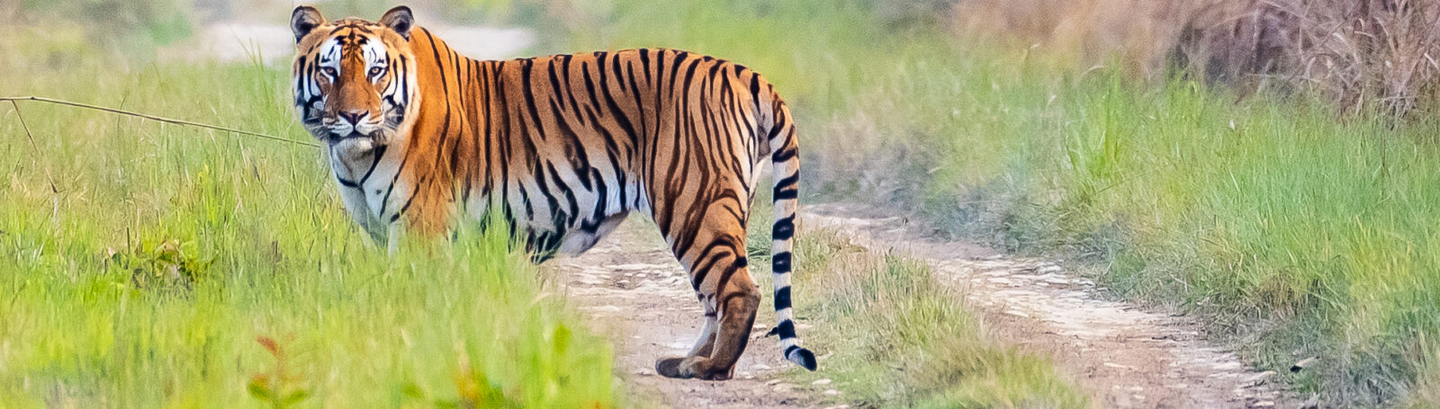
The Karnali basin has an area of 128,000 km2. From its source on the Tibetan plateau, the Karnali River flows through the Himalaya and Siwalik Hills, joining the Ganges at Chhapra. The basin hydrology is sensitive to climate change as it depends on snow and glacier melt water. The economy and population in the basin have grown rapidly in recent decades. The basin has a large hydropower potential, only a fraction of which has been developed or is planned to be developed in the coming years. The foreseen global change is likely to modify the water resources and sediment supply in the basin. This WP is therefore essential because it will quantify the current and future water cycle and how changes therein could potentially impact the tiger habitat in the Karnali floodplains.
The activities in this WP are: 1. Building a hydro-meteorological database of the Karnali basin based on existing and new field observations, remote sensing and weather and climate model output; 2. To understand the present-day hydrology by developing a high resolution hydrological model; 3. To develop future climate change and socio-economic scenarios, and 4. To assess future changes in the water and sediment budgets in the basin. The WP provides key inputs for WP 1 and WP 4-6.
This Work Package is Lead by prof. dr. Walter Immerzeel, Department of Physical Geography, Utrecht University, Utrecht, the Netherlands