News
Roaring Rivers: Understanding the dynamics of TAL rivers and their ecosystem services
By Kshitiz Gautam, February 2023
The Himalayan rivers emerge out of the mountains into the flat lands of Nepal, India and Bhutan. This landscape is called Terai Arc Landscape (TAL), where these rivers release a large quantity of sediment forming fertile alluvial fans. Rivers in TAL are of vital importance both for wildlife and human society. Understanding the hydro-morphological behavior of these river is crucial for sustainability of the wildlife habitat and socio-economic activities in the region. With the increase in human activities in these river systems and under the changing climatic conditions, this urge to understand the system and its future under sustained anthropogenic activities has never been of higher priority than ever.
My research, focuses on understanding the hydro-morphodynamics of Terai Arc Landscape (TAL) rivers, especially the Karnali and the Koshi, in natural conditions, under anthropogenic actions and future climate and how these changes affect the wildlife habitat. From this research, we try to find answers to the questions: How do we characterize the natural hydro-morphodynamics of TAL rivers (particularly, Karnali and Koshi)? What effects do we observe on river flow regime, sediment connectivity and flood plain dynamics of TAL rivers as a consequence of anthropogenic interventions? What is the relative influence of natural variations and anthropogenic interventions on the Karnali’s two branches? And what could be the suitable hydro-morphodynamic conditions in the Karnali River for sustainability of tiger and prey habitat, and how can we ensure them?
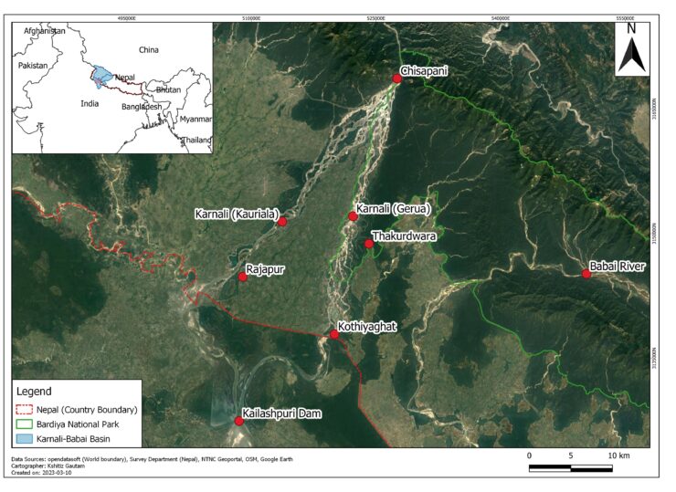
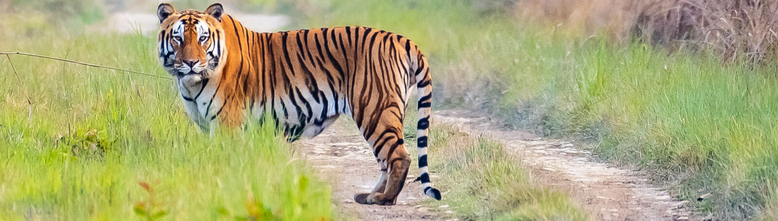
From our recent field visit of the Karnali and preliminary analysis of data, we have a brief understanding of Karnali system. The Karnali River emerges out of the Chure (Siwalik) hills at Chisapani in Nepal. It then immediately starts branching into multiple channels forming a polyfurcating system which eventually divides the flow of water into two branches, the eastern Gerua branch and the western Kauriala branch. The eastern Gerua branch passes through the Bardiya National Park, as such serving as a lifeline to wildlife habitat. The two branches flow along the island of Rajapur and rejoin upstream of Kailashpuri Dam in India, and the combined branch forms a tributary to the Ganges River. The switching of flow from Gerua to Kauriala has significantly reduced the amount of water in Gerua. The Kauriala branch is embanked on both sides and flows in more channelized pattern with higher discharge whereas, the Gerua is embanked only on one side( Rajapur island) and flows in multiple channels with high braiding. Sediment mining activity is more prevalent in Kauriala than in Gerua. Both the rivers are mostly gravel bed. However, mix of sand and gravel is common in the floodplains.
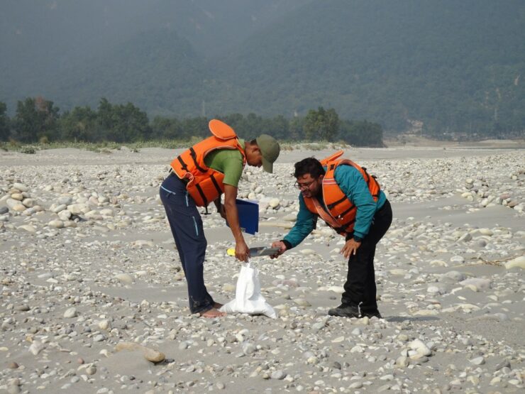
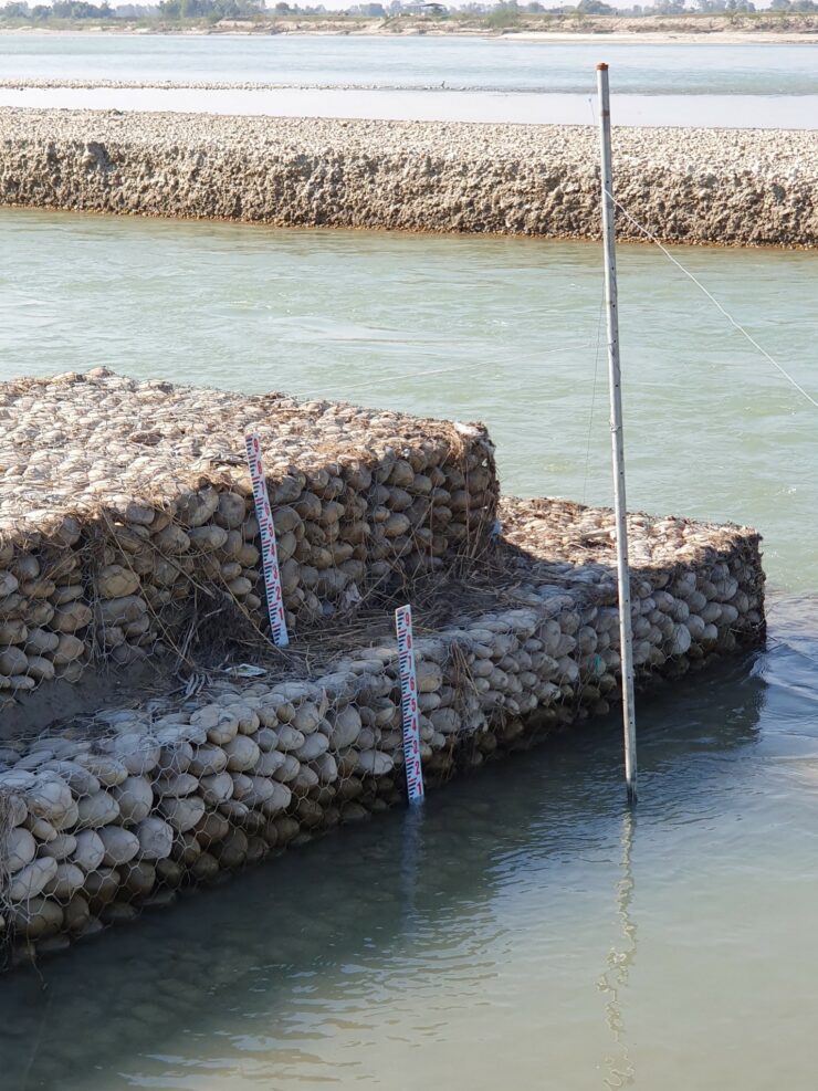
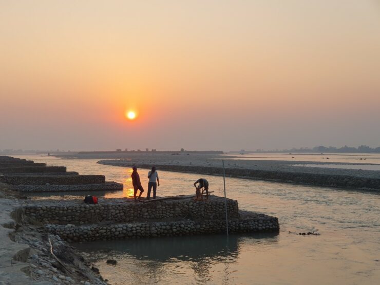
We have obtained sediment samples, cross sections and discharge at different locations and are analyzing them at the moment. In addition, we have also installed two water level data loggers one in each Kauriala and Gerua to monitor the water level and determine the discharge partitioning between the two branches.